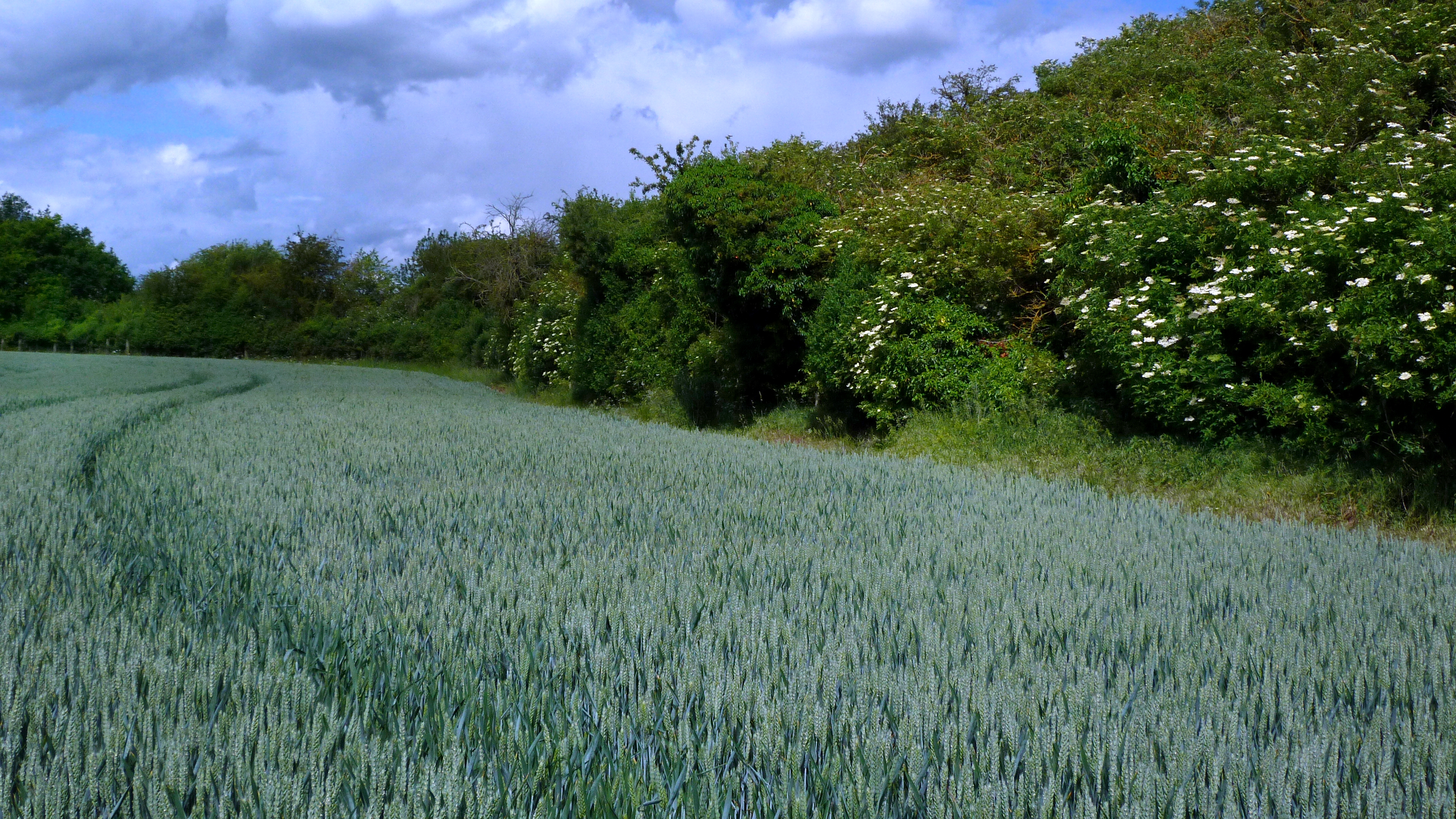
The ability of agricultural landscapes to capture and store carbon through natural processes has a major impact on the overall greenhouse gas balance of farmland. Carbon can be stored both below ground (in the soil) and above ground (in vegetation), but the extent of these stores varies with climate, land use and agricultural management. We are working on models to estimate below - and above - ground carbon stocks and how these might change under different land management scenarios.
Image

Modelling below-ground carbon stocks
We are developing models to create maps of estimated soil carbon for all land parcels in GB. Our model considers land use, soil type, physical properties, topography and climate. For cropped land, the model uses our earth observation data to correct for the dynamics of crop rotation and cover cropping. The modelled estimates can help to target and benchmark soil carbon measurements, as well as providing an input for large-scale carbon accounting.
Image

Modelling above-ground carbon stocks
We are developing models to use data form our high-resolution land cover mapping and vegetation canopy height data to make improved maps of carbon in standing vegetation.
Detailed soil carbon measurements
We are taking detailed soil carbon measurements to help build and validate our carbon models. In this video, Marek Nowakowski chats to Arezoo Taghizadeh Toosi from UKCEH about soil carbon, including how to increase and measure it.