The need to produce food while reducing agricultural emissions and environmental damage will require whole scale changes to farming systems, but understanding the impacts of these changes requires mapped data on agriculture and the environment. AgZero+ will provide researchers and stakeholders with accessible national data sets to place farm-scale changes in context and explore wider scale scenarios. Explore the themes below to find out more.
Mapping the trade-offs between food production, emissions and a healthy environment
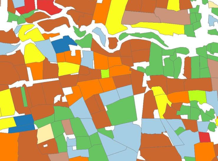
Mapping the agricultural landscape
We are using high resolution satellite data to map features of the agricultural landscape across GB, including crops, hedgerows and grassland. UKCEH’s Land Cover® Plus family of maps has many applications for understanding UK agricultural landscapes.
Carbon stocks
We are working on models to produce field-scale mapped estimates of below- and above -ground carbon stocks and how these might change under different land management scenarios.
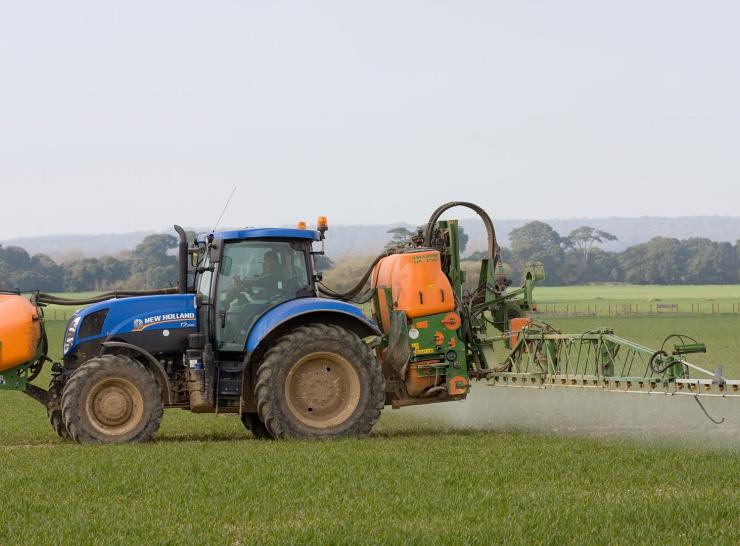
Mapping fertiliser and pesticide use
We have combined our crop mapping data with farm surveys of pesticide and fertiliser use to produce national mapped estimates of the application of inorganic fertilisers and over 160 pesticide active ingredients.
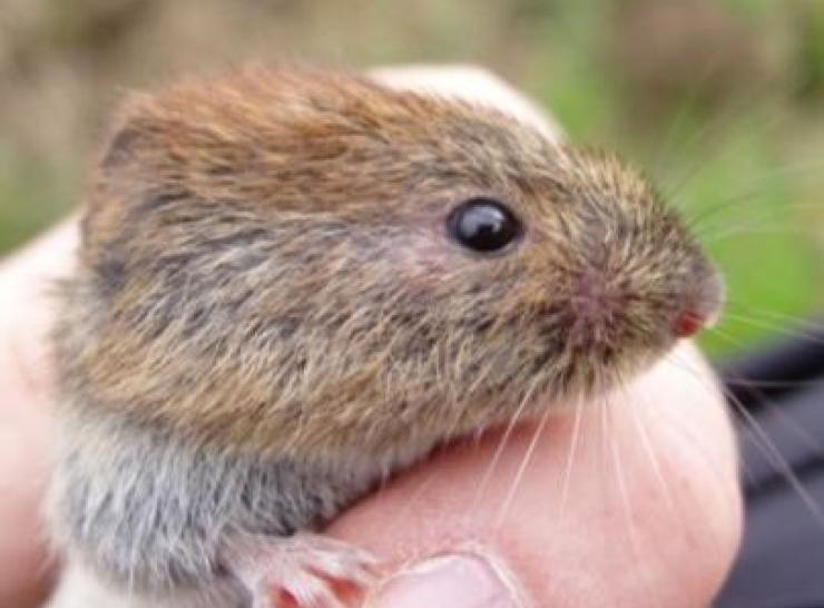
Farmland biodiversity
We are developing new population models to predict the abundance and diversity of key farmland species and how they respond to management interventions.
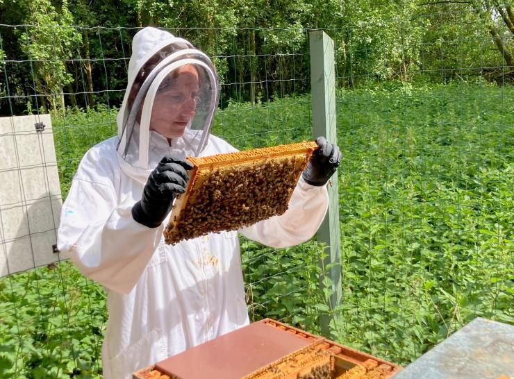
Honey Monitoring Scheme
The National Honey Monitoring Scheme is a partnership between over 3,000 UK beekeepers and researchers at UKCEH. Each year beekeepers send in samples of honey for analysis, helping to map and monitor farmland ecosystem health.

Recreational value of farmland
We are mapping the potential social benefits provided by farmland by estimating the demand for recreational use of land across Great Britain and the factors that draw people to visit certain areas.
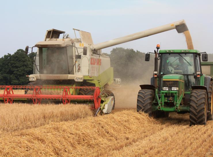
Mapping crop yields
We are processing high resolution satellite data into yearly maps of yields for key crops at the field and sub-field level. Maps are validated against yields surveyed on networks of commercial farms.
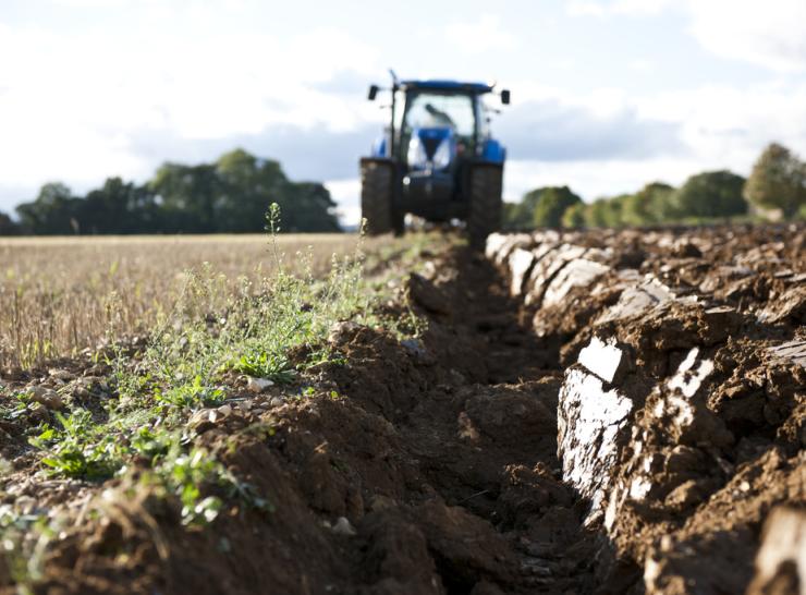
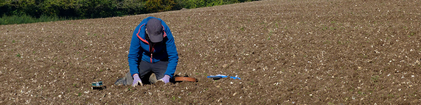
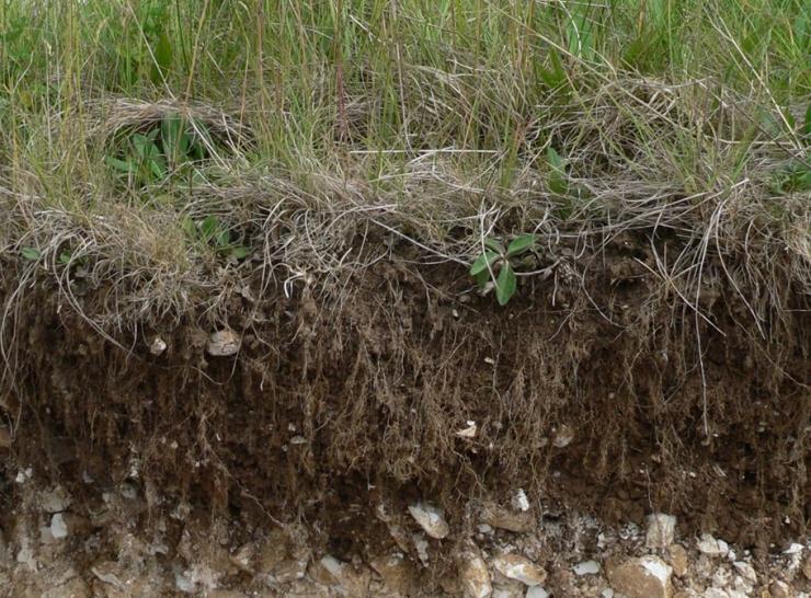
Soil health and characteristics
We are working to combine soil datasets and survey data from partner organisations, to produce open access maps of soil health and characteristics for the UK, to help benchmark on-farm measurements.
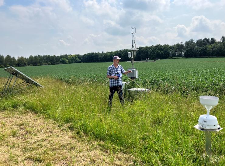
Greenhouse gases
UKCEH runs a nationwide network of greenhouse gas monitoring systems on agricultural sites, providing valuable data on how land management interventions can reduce greenhouse gas emissions and increase carbon storage.