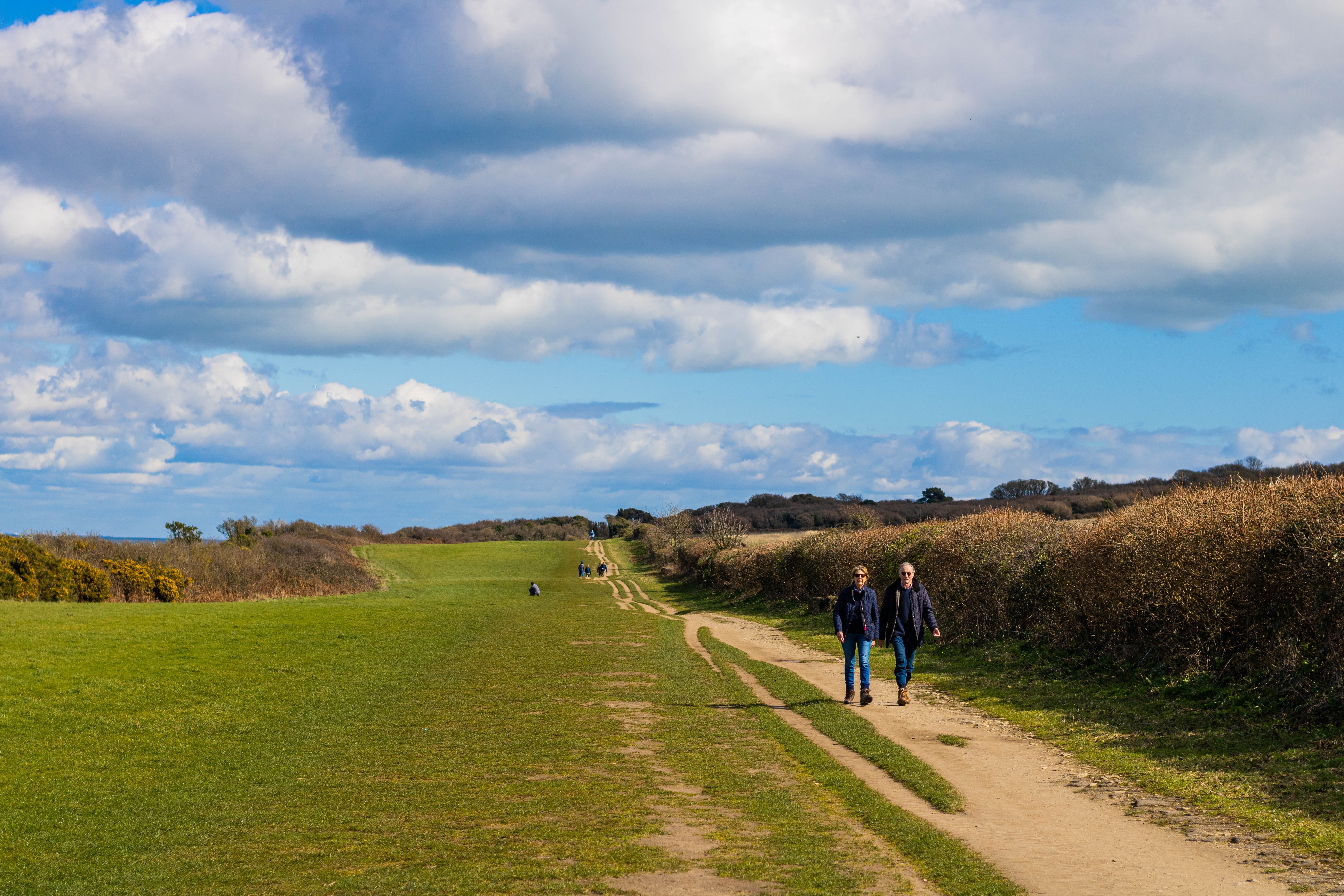
Farmland covers the majority of the UK’s land, so that much of the countryside people experience and use for recreation is farmed in some way. Many of our most iconic UK landscapes have a long history of farming, which has shaped the way in which people use and value the land around them. AgZero+ will explore the potential social benefits provided by farmland by estimating its recreational value across Great Britain.
Image

Methods for modelling recreational supply and demand
We have developed methods to estimate the potential demand for a given area of land for recreation, based on the proximity to settlements and population density, and its ability to supply this demand, based on the presence of features that make it more or less attractive.
Image

Mapping recreational demand
We have used these models to create maps of weekly, monthly and yearly recreation demand for the UK. The maps give the number of projected visits for local recreation in the given time to every 250m grid cell, and include visits for activities such as walking, hiking, cycling, etc.
Improving our understanding of recreation in the agricultural landscape
We are working to improve out models by refining the data we use to determine what makes an area more or less attractive for recreation. We will use our AgZero+ datasets on the agricultural landscape, as well as data on key facilities (e.g. car parks) and information from surveys of how people experience the natural environment, including Monitor of engagement with the natural environment (MENE) and the People and Nature Surveys. We will also explore downscaling these associations to understand people’s relationship to specific features in farmed landscapes, through the use of questionaries, data loggers and smartphone data (e.g. Strava).