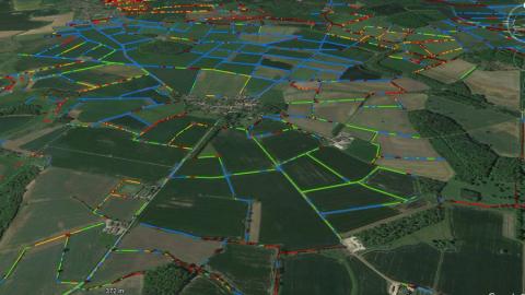
Scientists have harnessed cutting-edge technology to produce the most comprehensive map of hedgerows across the length and breadth of England. The researchers at the UK Centre for Ecology & Hydrology (UKCEH) hope this innovative mapping will guide planting and restoration of these vulnerable habitats to support wildlife and mitigate climate change.
Read more about hedgerow mapping on the UKCEH website.
Image
