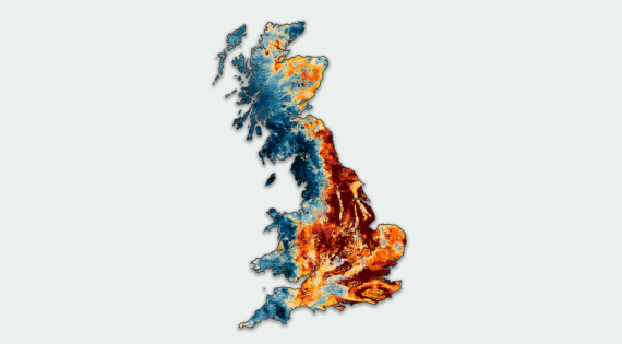
UKCEH have produced an app showing high-resolution (50m) daily estimates of soil moisture across Great Britain.
This can be used to inform decision on the timing of agricultural management actions affected by soil moisture (such as tillage and seed drilling) and when crops might require additional water from irrigation.